‘Data you can touch’, an AIE success story
Ever been interested in how many people live in your city and what you as a community contribute to CO2 emissions? -KEN-'s got you sorted!
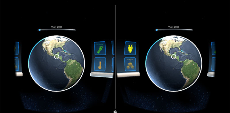
-KEN-, an old Scottish word for ‘understanding’, utilises NASA's Earth Science and Human Dimension Data to provide a database of information on the earth. -KEN- is a mobile Virtual Reality data visualisation tool that can not only provide you with the information to answer ‘that’ question, but it can deliver it in a way that is easy to digest, is tangible, and is fun!
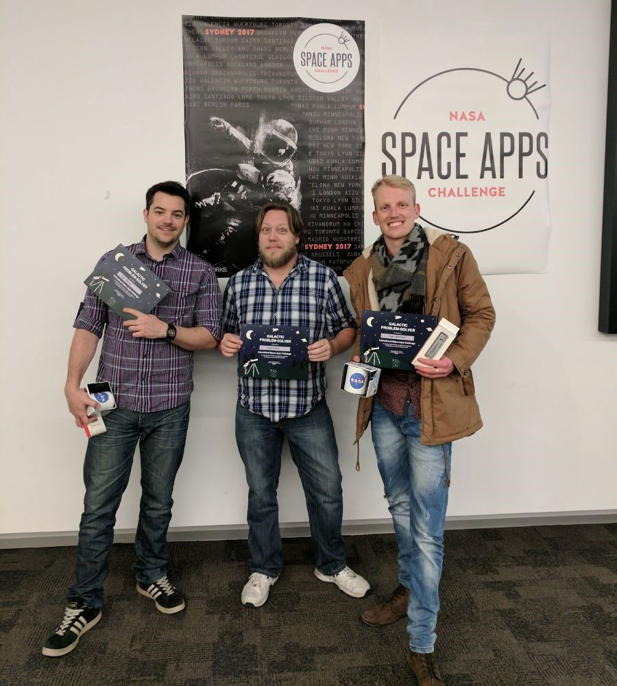
Born from the Nasa Space Apps Challenge, a Nasa incubator innovation program. The concept, idea and demo of -KEN- was built in just 48 hours by an AIE three-man team.
“Attending the NASA Space Apps challenge was a pretty crazy experience. I had never heard of this event until AIE offered me the opportunity, so to be selected to attend was awesome. The coolest thing is that the experience is very similar to the 48-hour game jams that many AIE campuses run, so being a participant in roughly 7 or 8 jams since beginning study at AIE made me feel pretty prepared for a rapid prototyping experience.” – Ryan Whitmore, Game Designer.
Under the team name “Acronymous”; Craig Bentick, Scott Purcival and Ryan Whitmore along with -KEN- made it to the Global Stage round. Up against 13 other global projects, if they happen to nab first place, they will be invited to the Kennedy Space Station!
“Being a student online, getting to meet one of my main teachers and a fellow student was bizarre but awesome experience! It was such a cool opportunity to transfer the skills taught and practiced together from an online perspective to a face-to-face one, and now we are back home continuing development from our corners of Australia, still feeling equipped to tackle the challenge.” – Ryan Whitmore, Game Designer.
The amazing thing with -KEN-, is that it has the power to visualise ANY set of data, making it INFINITELY applicable to all kinds of tasks, industries, and opportunities. Students can use it in the classroom to look at the financial and human and fauna impact of the world wars on the world geographically, stimulating a new kind of conversation for our next generation. Businesses can combine financial data with local demo-graphical statistics to design a business plan and marketing strategy, and NASA can use it to bring to life their comprehensive data.
The data is projected over a 3D virtual earth, with different data sets represented in their own unique visual ways.
AIE have been proud to sponsor students to attend this event! It goes to show how skills in one industry can translate into another field. This isn’t the first time AIE students have achieved such success in these emerging fields. With previous AIE students going off to work in simulation for the Australian Defense force or creating advertisements for media companies.
“I think the initiative to sponsor students from AIE campuses to participate in this event is an awesome one. The event is free to be involved in so you don’t have to be selected by AIE to be involved, however AIE’s support to provide students with this opportunity is fantastic as it shows our skill-sets applicability in a new and VERY exciting industry in Australia.” – Ryan Whitmore, Game Designer.
If you have daydream and a pixel you too can also download the app and check it out!
Download Google Daydream here.

